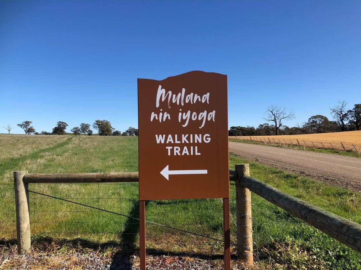
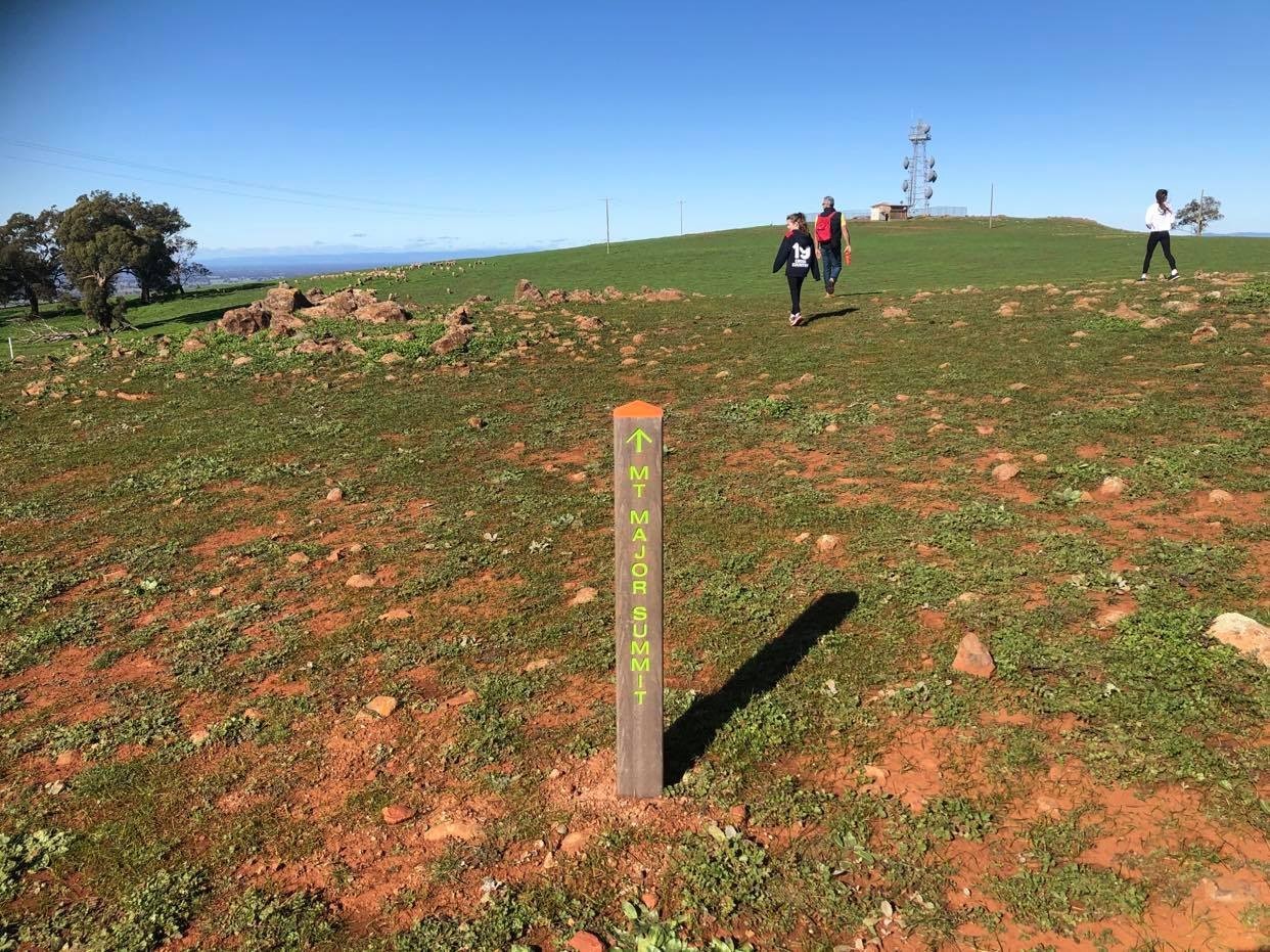
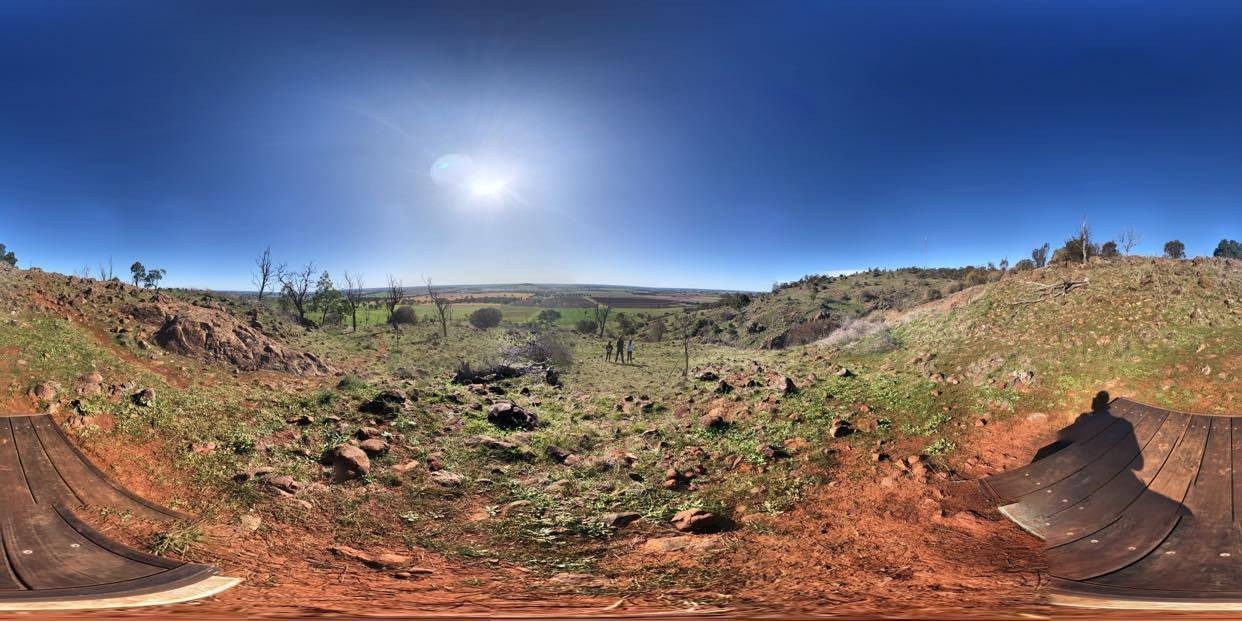
This 4.6km return walk offers lovely views to the north and west as you move up the slopes to the peak of Mount Major offering views of Dookie and surrounding hills, Dookie Agricultural College and the ranges to the south and east. Interpretive signs along the trail provide an insight into the area's rich cultural history.
Take in views to the north and west as you move up the slope to the head of a gully, through yellow box woodland to the summit of Mt Major. You can then continue across the plateau to a directional cairn on the southern side, offering views of Dookie Agricultural College, the Broken River and the ranges to the south and east.
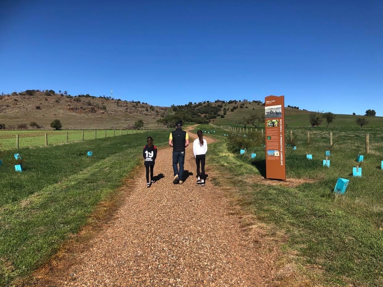
Interpretive signs along the trail provide an insight into the area's rich cultural history - learn about the indigenous links to the the land, the landscape, wildlife, local history and unique geology of the area.
The trail passes through parts of a working Sheep farm so please do not bring dogs onto the trail. The walk is quite rocky and steep in places, so watch your step, and in the warmer months keep an eye out for snakes.
The trail, opened in 2020, was a project supported by the Goulburn Broken Catchment Management Authority, Yorta Yorta National Aboriginal Corporation, Greater Shepparton City Council and the University of Melbourne (Dookie Campus) through funding from the Australian Government and Greater Shepparton City Council.
Please note there are no toilet or drinking facilities along the trail - the nearest public toilets are located in the township of Dookie (just over two kilometres to the north of the trail car park).